

The Low Road to Sibley House route is by far my favorite afternoon ride, and on Saturday I went down there to see if it was rideable yet.
Every Spring the flood waters come in and dump tons of sand and mud on the gravel base of the low road. First you have to wait for the waters to retreat, then you can typically get through it on a Pugsley or fat tired mtb. If you're lucky a few weeks after the water retreats the DNR will go through and plow the sand off the road and scrape it down to gravel so that it is passable by skinny tires. This is on the Low Road side.
On the Sibley side they don't do any plowing so for most of the summer it's duney as hell and often has hike a bike sections. By late summer though it's typically good to go on both sides of the river and it's 12 miles or so of fast gravel and beautiful scenery.
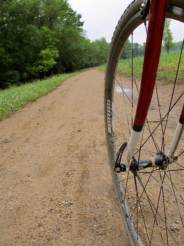
The opening half mile of the Low Road was a little wet but totally passable on cross tires.
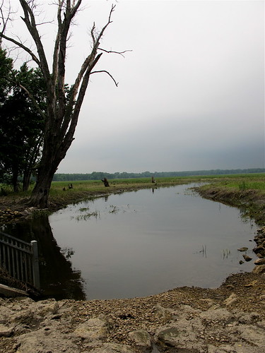
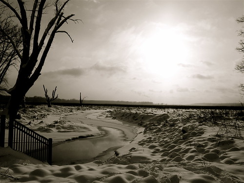
I stopped on the little bridge to take a photo in the same place I shot one at Bandit Cross in December for a little perspective on how the scenery changes with the seasons
June 2011
December 2010
Anyway, a few hundred yards up the road from the photo spot I ran into this

At this point I turned around defeated. It's not quite ready to go, but hopefully soon.
3 comments:
Thanks for the update on the other side of the river... I usually start at the Sibley House and go the other way. Half the fun is checking the trail for yourself and seeing how far you can get, but here is a website with water levels if you ever want to see how the river is doing from home/work. I know Sibley to 494 is rideable when the river is at about 19 feet.
Cool bike.
494? did you mean Cedar?
I haven't ridden 494 to Cedar yet. I'm assuming the low spots on that stretch are still underwater. I think the area roughly halfway between 494 and Cedar is the lowest spot on the ride.
Post a Comment